Everglades History & the Army Corps
Building the Tamiami Trail: Dynamite, Dredges and a Road Across the Glades
It took 13 years and millions of sticks of dynamite to build the road between Tampa and Miami. Today it is also SW 8th Street, and it is being raised on bridges.
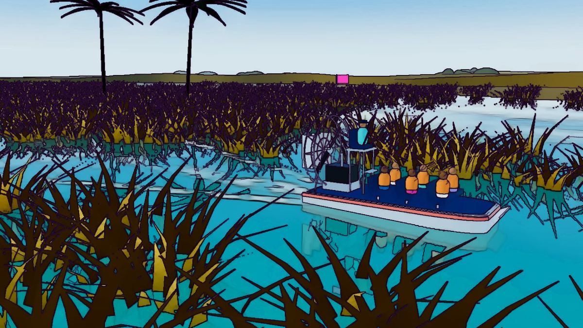
The Tamiami Trail (Tampa to Miami) is the road that made the southern Everglades reachable by car. It is also, for anyone booking an airboat ride near Miami, a familiar address: in Miami-Dade County the trail becomes SW 8th Street, the same street that runs through Little Havana as Calle Ocho.
An audacious idea
In 1915 Miami boosters including James F. Jaudon promoted a cross-state highway linking the Atlantic and Gulf coasts. Surveying began that summer. The western counties struggled to pay for their sections, and work stalled until advertising millionaire Barron Collier pledged to finish the road through the southwest. Florida rewarded him by creating Collier County in 1923.
Blasting through rock
The route crossed limestone, sawgrass and cypress swamp. Crews blasted the rock ahead and used dredges to scoop it up and pile it into a roadbed, leaving a canal alongside. Accounts credit the project with using about 2.6 million sticks of dynamite. It took 13 years and cost about $8 million.
Opening day
The Tamiami Trail officially opened on April 26, 1928, with a motorcade celebrating the route. Along it grew small outposts, Seminole and Miccosukee camps, gas stations and roadside attractions, including the airboat operators who still work the trail today.
A dam by accident
The trail and its canal acted like a long dam across the Everglades, slowing the natural flow of water south into what would become Everglades National Park. Restoration planners began calling it a "cork in the bottle."
Raising the road
To pull that cork, sections of the trail are being replaced with bridges so water can pass beneath. A one-mile bridge opened in the early 2010s, a further 2.6 miles followed, and the Tamiami Trail Next Steps project has worked on raising and rebuilding the remaining stretch. Each mile of bridge lets more water move the way it once did.
Life along the trail
Once the road opened, a string of small outposts appeared along it. Monroe Station, built in the 1920s, became one of the best known, serving travelers and the crews who maintained the road. Seminole and Miccosukee families moved to camps along the trail, where they sold crafts and offered alligator wrestling and, later, airboat rides to passing tourists.
The Trail Blazers
In 1923, with the road still unfinished, a group of motorists calling themselves the Trail Blazers tried to drive across the incomplete route to prove it could be done. Their cars bogged down in the swamp, and the trip took weeks, but the publicity helped build support for finishing the road.
Two routes, one road
The trail split into two routes in the Big Cypress for many years, and later realignments created today's US 41. In Miami-Dade, the route becomes SW 8th Street, one of the region's most important east-west roads, connecting Little Havana, Westchester, Florida International University and the edge of the Everglades.
What travelers see today
Driving west from Miami on the trail, the suburbs end abruptly at the Everglades. Within minutes you pass sawgrass prairie, canals full of birds and alligators, Miccosukee communities, airboat operators and the entrance to Shark Valley in Everglades National Park. It's one of the quickest city-to-wilderness transitions in America, and the route your group takes to its airboat outing.
Sources & further reading
Keep reading
 Everglades History & the Army Corps
The Kissimmee River: Straightened by the Corps, Then Brought Back
In the 1960s a winding river at the head of the Everglades was turned into a straight canal. Decades later, the same agency helped put the bends back.
Read article Everglades History & the Army Corps
How Everglades National Park Came to Be
A landscape architect, a journalist and a president: the people behind the 1947 dedication of the first national park created to protect an ecosystem.
Read article Everglades History & the Army Corps
CERP and the Long Road to Restoring the Everglades
The Comprehensive Everglades Restoration Plan is a multi-decade, multi-billion-dollar effort to re-plumb South Florida. What it is and how it works.
Read article