Everglades History & the Army Corps
The Army Corps of Engineers and the Central and Southern Florida Project
After the floods of 1947, Congress launched one of the largest water-control systems in the world. Here's what the Army Corps built and why.
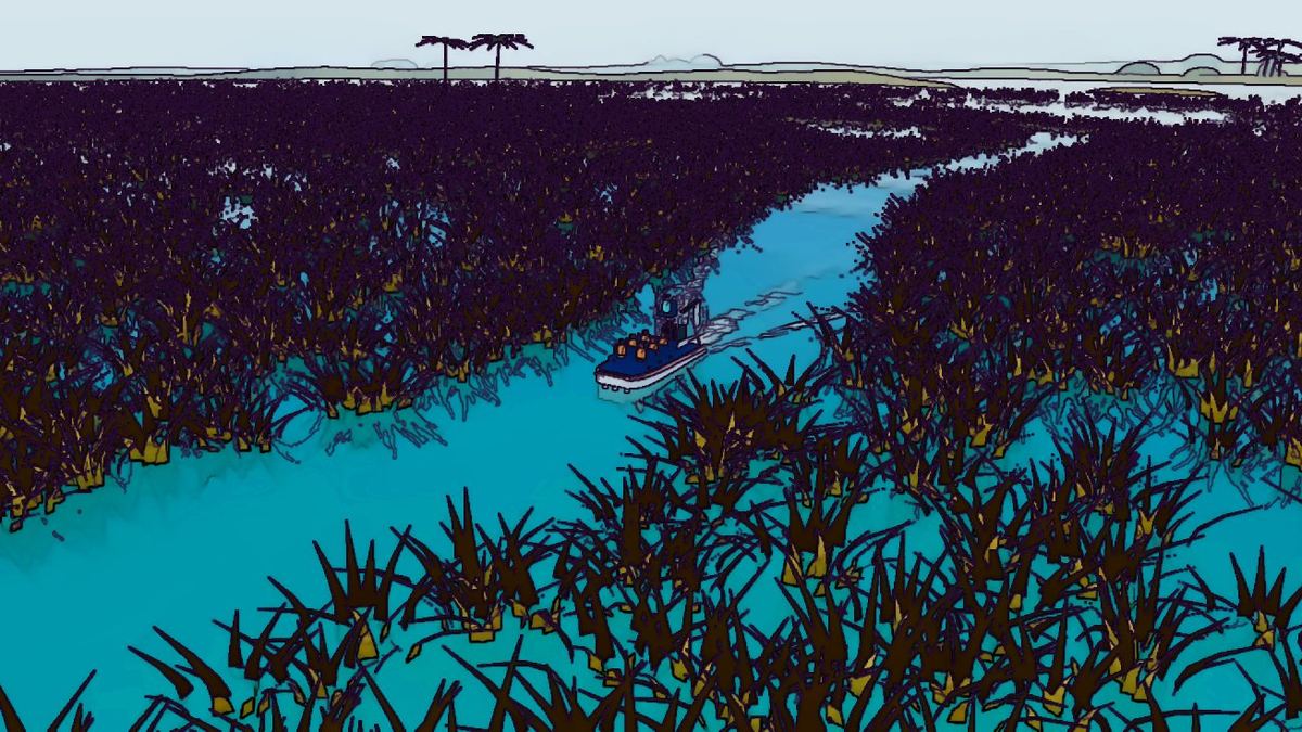
If one decision defined the modern Everglades, it was the Central and Southern Florida Project for Flood Control and Other Purposes, usually shortened to the C&SF Project. Congress authorized it in 1948, and the U.S. Army Corps of Engineers designed and built it.
The floods of 1947
In 1947 two hurricanes and an extremely wet rainy season dumped around 100 inches of rain on parts of South Florida. Water stood for months across farmland and growing suburbs from Lake Okeechobee to the Miami area. The old drainage canals were overwhelmed. The public demanded protection, and the federal government answered with a comprehensive plan.
What was built
Over the following decades the Corps built an enormous plumbing system: more than 1,000 miles of canals and hundreds of miles of levees, plus water-control structures and large pumping stations. An eastern perimeter levee separated the Everglades from the coastal ridge where Miami, Fort Lauderdale and West Palm Beach were spreading west. Large impoundments called Water Conservation Areas were created to store water in the central Everglades, and the land just south of Lake Okeechobee became the Everglades Agricultural Area, largely devoted to sugarcane.
Who runs it
The State of Florida created the Central and Southern Florida Flood Control District in 1949 to operate the system alongside the Corps. In the 1970s it was reorganized as today's South Florida Water Management District, which still manages day-to-day operations.
Success and side effects
The project did what it was designed to do: it protected millions of people from flooding and supplied water to cities and farms. But it also cut the Everglades into compartments, sent fresh water to the ocean through canals instead of south through the marsh, and changed the timing and quality of water reaching Everglades National Park and Florida Bay.
Many of the airboat tours along the Tamiami Trail run on land shaped by this project, including the Water Conservation Areas. Today's restoration work is, in large part, an effort to re-plumb the system the Corps built.
A system of numbered canals
Travelers in South Florida drive past the C&SF Project every day without realizing it. Canals with names like C-4, C-6 (the Miami Canal), C-9, C-100 and L-31 are part of it, along with pumping stations labeled with an "S" and a number. The L-31 levee and canal system along the eastern Everglades protects suburbs while also controlling seepage from the marsh.
The Water Conservation Areas
West of Miami-Dade and Broward counties, the project created large diked areas of Everglades marsh designed to store water. These Water Conservation Areas still hold a vast expanse of sawgrass, tree islands and wildlife. Because they lie outside the national park, they are also where many airboat tours along the Tamiami Trail and nearby highways operate.
A changing mission
When the project was authorized, its main goals were flood control and water supply. Over time, Congress and the public added new goals: protecting fish and wildlife, delivering water to Everglades National Park and, eventually, restoring the ecosystem. The Army Corps of Engineers, once known mainly for draining and channelizing, became a lead partner in restoration.
Rising seas and new challenges
Many of the gravity-drainage structures built for the project depend on canals flowing downhill to the sea. As sea levels rise, coastal structures have less room to let water out, especially during high tides and storms. Engineers are studying how to upgrade the system so it keeps protecting communities for the rest of this century.
Sources & further reading
Keep reading
 Everglades History & the Army Corps
Building the Tamiami Trail: Dynamite, Dredges and a Road Across the Glades
It took 13 years and millions of sticks of dynamite to build the road between Tampa and Miami. Today it is also SW 8th Street, and it is being raised on bridges.
Read article Everglades History & the Army Corps
The Kissimmee River: Straightened by the Corps, Then Brought Back
In the 1960s a winding river at the head of the Everglades was turned into a straight canal. Decades later, the same agency helped put the bends back.
Read article Everglades History & the Army Corps
How Everglades National Park Came to Be
A landscape architect, a journalist and a president: the people behind the 1947 dedication of the first national park created to protect an ecosystem.
Read article